
Scioto Township ZIP Code Coverage, Carefully Verified
The verified local starting point for a Scioto Township ZIP code directory is 43061. Township and Ostrander Branch addresses use that ZIP, and the Village of Ostrander is the postal place name identified by the local examples. The research did not locate an authoritative, complete ZIP-to-township coverage file. One known ZIP should not be stretched into a claimed exhaustive list of every delivery area that may touch township geography.
| ZIP code | Verified local coverage | Post-office label | Records caution |
|---|---|---|---|
| 43061 | Scioto Township office and Ostrander Branch examples; Village of Ostrander area. | Ostrander | Confirm the exact delivery address with USPS. The available research does not establish all township carrier coverage. |
The official township office at 3737 Ostrander Road and the Ostrander Branch at 75 N. Fourth Street are documented 43061 anchors. The Ostrander Post Office is at 420 West North Street, Ostrander, OH 43061-9998. Postal areas routinely cross governmental boundaries, so neither the post-office label nor a township example alone settles jurisdiction for a parcel or public-record request.
Note: No official local source verified a ZIP realignment, unique ZIP, PO-box-only ZIP, carrier-route boundaries, or ZIP-specific population and registration totals for the township.
Verify a Scioto Township ZIP Code With USPS
Use the USPS ZIP Code Lookup before treating a postal label as part of a Scioto Township record. The tool supports three useful routes: complete address to ZIP, city and state to a ZIP list, and ZIP to city names. Retain the standardized address returned, then compare the same physical location with the county parcel tools. USPS warns that a ZIP lookup result does not confirm that a person or organization is at an address.
| USPS route | Enter | Use the result for |
|---|---|---|
| Address to ZIP code | A complete physical delivery address. | Confirming the standardized ZIP for that location. |
| City and state to ZIP list | A postal city label and state. | Finding possible ZIP labels, then testing a specific address. |
| ZIP code to cities | The five-digit ZIP code. | Checking postal city names, not county or township jurisdiction. |
Start with the physical address, not a surname. If the return does not match, normalize directional abbreviations and street suffixes, then ask the GIS office for address-assignment or road-history help rather than assuming the location does not exist. This is the most defensible first move when the local coverage list is deliberately incomplete.
See the official lookup interface at the USPS ZIP Code Lookup.
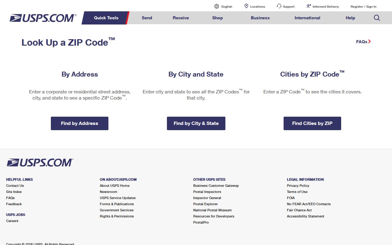
The postal result should travel with the address into the county map and property tools, not replace them.
Scioto Township Postal Labels and Jurisdictions
A Scioto Township ZIP code is not a township boundary. The township lies between the City of Delaware and the Union County line, while the Village of Ostrander is an incorporated place within the township's geography. The township hall and the library branch use Ostrander 43061, yet county offices that administer Scioto Township records use the Delaware 43015 postal label. County custody comes from government jurisdiction, not the city written on an envelope.
The county Auditor makes the distinction operational. Its advanced search separates Township, including SCIOTO, from Municipality, including OSTRANDER. When an address carries an Ostrander postal label but the parcel lies in a different government setting, use the parcel's township and municipality fields for the record question. A request should name Scioto Township, Delaware County, and the street address or parcel rather than only a postal city and ZIP code.
Use Scioto Township Filters After a ZIP Check
The property search offers the county's best local filter after postal verification. The stable advanced property screen does not provide a verified public ZIP filter. Its field list does include Township, Municipality, Street Name, Subdivision Name, tax district, school district, property type, values, conveyance date, and building characteristics. Select Township equals SCIOTO with an address, street, or subdivision criterion, then use the USPS result to confirm delivery geography.
| County search field | ZIP-related role | Important limit |
|---|---|---|
| Township | Select SCIOTO to keep a parcel set in the township. | A township is not a postal delivery boundary. |
| Municipality | Separates OSTRANDER from the surrounding township option. | A municipality choice does not replace a ZIP check. |
| Street Name | Narrows a physical road after the postal address is confirmed. | Review parcel-by-parcel results. |
| Address or Parcel Number | Connects the standardized location to a parcel. | Parcel data identifies property roles, not all occupants. |
| ZIP criterion in weekly sales configuration | The research found a ZIP criterion in that separate configuration. | It was not captured as a stable filter on the main public advanced screen. |
The Delaware County Auditor property search and Auditor GIS return a parcel framework. Record the situs, parcel number, legal description, township, municipality, and tax or school context. The Treasurer's property search is a useful second route because it accepts one address, owner-last-name, or parcel criterion at a time.
Find Scioto Township Records From a ZIP
A postal result narrows delivery geography, but it does not produce a ZIP-wide resident list from the local portals. Use a specific address to get the parcel first. The Recorder searches recorded documents by party, book and page, or instrument number, rather than ZIP. Ohio's voter lookup requires a first name, last name, and county, with optional street refinement. That division keeps postal searching separate from named-person confirmation.
- Run the complete delivery address through USPS and save the standardized ZIP code returned.
- Search the same address in Auditor GIS or the Auditor property tool; confirm Township equals SCIOTO and record the parcel number.
- Use parcel and legal-description details to choose the appropriate county office, tax district, municipal setting, or map layer.
- For a documented conveyance, carry the party or instrument clue to Recorder Public Access instead of trying a ZIP-only search.
- For a defined voter-record question, use the state lookup for the named individual or ask the Board of Elections which public street-list or report route is available under Ohio law.
Once a ZIP result has narrowed the physical location, the Scioto Township Street Directory provides the full address-to-parcel-to-recorded-document workflow. That handoff preserves the difference between postal geography and a street-level property trail.
Scioto Township ZIP Code Searches Have Limits
The Ohio Voter Lookup is a name-and-county confirmation tool, not a ZIP-only browse. It asks for first name, last name, and county, with street name as a refinement. The Delaware County Board of Elections links voter lists and reports, street lists and reports, absentee labels and reports, and polling tools. For a permissible public record request, identify the desired date, fields, geographic scope, delivery format, and a cost ceiling. No verified fixed price or standardized county order form was located.
The Delaware County Board of Elections is the correct place to confirm report availability and statutory redactions. It is at 2079 U.S. Highway 23 North, Suite 4, Delaware, and can be reached at 740-833-2080. A ZIP label cannot replace the required name and county inputs, nor does a returned public record establish that every person receiving mail in the ZIP lives at the address.
The Board's public reports and voter tools are visible at the Delaware County Board of Elections.
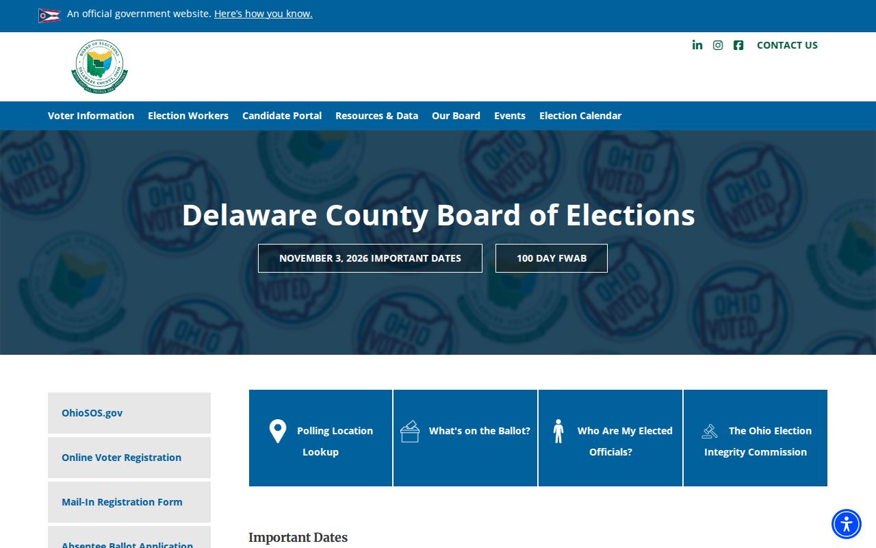
Use the Board to verify the available report and permitted fields before assuming a ZIP or street list can be supplied.
Scioto Township Geography Behind the ZIP Code
The official Census profile reports 3,742 people and 1,350 households for the full township in the 2020 Ohio Development compilation. The incorporated Village of Ostrander is counted separately at 1,094 people and 350 households, while the balance of the township is reported separately. Those figures describe government geography, not a postal delivery list. They help explain why an Ostrander label and a Scioto Township record need separate checks.
View the township profile at the U.S. Census Bureau.
The profile is a township-level context source; it does not divide residents into ZIP code totals.
Regional Planning Commission material adds a land-use reason for the careful method. Its December 2025 profile reports land use of 60 percent agriculture, 21 percent residential, 10 percent vacant, 4 percent industrial, 1 percent commercial, 2 percent parks and open space, and 2 percent rivers and lakes. This rural and mixed landscape makes parcel and legal-description work more useful than a postal label alone.
See the current local context at the Delaware County Regional Planning Commission profiles.
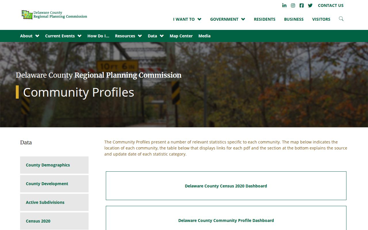
The planning profile supplies township context, while USPS and the Auditor remain the address-level checks.
Older Scioto Township Places Precede ZIP Codes
Older Scioto Township records often use rural routes, village names, a rail station, a creek or road, legal surveys, and atlas place clues instead of modern ZIP codes. The 1866 atlas includes Scioto Township map material, named farms, merchants, schools, churches, rail infrastructure, and an advertising directory. Use those descriptions as written, then reconcile them to a present parcel with GIS and Recorder help. A modern ZIP+4 never converts an older place reference by itself.
The county lies in Virginia Military Land, so an older legal description may follow irregular surveys, rivers, and creeks rather than a uniform grid. County road books from 1808 through 1941, plus the 1849, 1866, 1875, and 1908 atlases, provide a safer research ladder when a historic road does not line up cleanly with the current address.
Note: No verified township street-renumbering record or official ZIP-boundary history supports assigning a modern postal code to an older source without an address-by-address check.
Scioto Township ZIP Code Directory Definitions
A ZIP result is a delivery-geography reference, not a resident roll. The right record after a postal check may be a parcel, a recorded document, a zoning file, a voter confirmation, or an archival map. The source and date matter. Postal labels do not override confidential addresses, protected voter information, DMV privacy rules, or other record-specific limits.
- ZIP code
- A postal routing label for a delivery area. It does not define a township, village, parcel, or household.
- ZIP+4
- An extra delivery-sorting extension. It is not a neighborhood, property, or resident identifier.
- PO-box ZIP
- A postal ZIP used for box delivery. No PO-box-only Scioto Township ZIP was verified in the research.
- Unique ZIP
- A ZIP assigned to one organization or institution. No local unique ZIP was verified in the research.
- Carrier route
- A delivery sequence used by postal operations. Official local carrier-route boundaries were not located.